Historic Maritime Maps
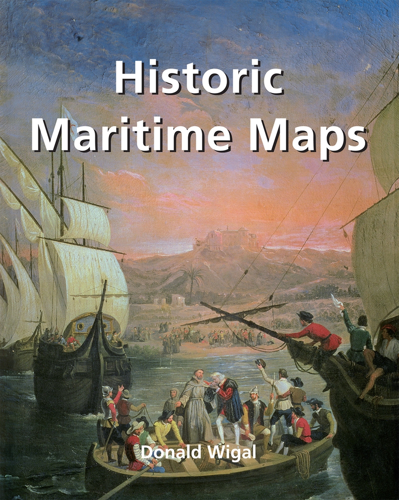
This book presents a selection of oceanic charts dating from the 13th to the 17th century. Though to us they may appear rudimentary, they bear excellent witness to the achievements of the early European navigators, and to their determination to explore the very ends of the Earth. What the charts may lack in geographical accuracy they undoubtedly make up for in charm. And of course they are priceless historical records. Recounting the epic voyages of maritime exploration, from Erik the Red to Robert Peary, author Donald Wigal leads us on an exciting journey from Terra Incognita to the World As We Know It.
Weiterführende Links zu "Historic Maritime Maps"
Versandkostenfreie Lieferung! (eBook-Download)
Als Sofort-Download verfügbar
eBook
16,99 €
- Artikel-Nr.: SW9781683251002458270
Bewerten
Ein Blick ins Buch
- Artikelnummer SW9781683251002458270
-
Autor
Donald Wigal
- Verlag Parkstone International
- Seitenzahl 256
- Veröffentlichung 12.02.2022
- Barrierefreiheit
- ISBN 9781683251002
- Verlag Parkstone International